
FAO launches Africa-wide tsetse fly distribution map
By Zablon Oyugi
The Food and Agriculture Organisation of the United Nations (FAO) has released the first-ever Africa-wide tsetse flies distribution map. This comprehensive tool will help combat animal trypanosomosis disease, also called “nagana,” in cattle on the continent.
The continental atlas of the distribution of tsetse flies in Africa has been termed as a vital tool against the often-lethal parasitic disease among livestock that causes billions of dollars in economic losses for farmers in sub-Saharan Africa.
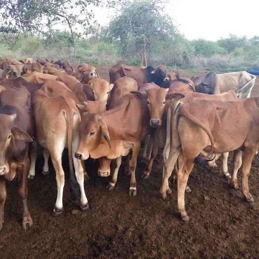
The disease, which is caused by the blood-sucking tsetse fly insects, hinders milk and meat production, as well as the animals’ health.
This is because the insects act as incubators and carriers of trypanosomes, single-celled parasites responsible for debilitating and often fatal diseases.
As a result, this has led to food insecurity and decreased income for millions of African farmers who depend on livestock.
In humans, this disease is also known as “sleeping sickness”. It affects the nervous system and manifests symptoms such as fatigue, severe headaches, and coma. If not diagnosed and appropriately treated, the disease almost invariably leads to death.
While sleeping sickness is no longer considered a public health problem, with fewer than 2,000 cases reported each year in humans it still severely affects livestock in Africa.
Efforts to control and eliminate animal trypanosomosis require decisions based on sound evidence. However, the last maps of tsetse distribution in Africa were developed more than half a century ago, and no Africa-wide map of animal trypanosomosis occurrence has even been generated.
Years in the making, the FAO atlas is the first significant step in filling such data gaps.
Its data on tsetse distribution is based on 669 scientific papers spanning 31 years (from 1990 to 2020). It combines geolocation data such as Google Earth with entomological fieldwork, including stationary traps and fly rounds using mobile devices.
Over 7,000 sites analysed
In total, 7,386 sites across Africa were analysed, producing the most comprehensive maps to date of the tsetse fly’s distribution on the continent.
Based on the data collected, the occurrence of the Glossina species was confirmed in 34 countries, spanning a maximum latitude of approximately 15° north in Senegal (Niayes Region) to a minimum of 28.5° south in South Africa (KwaZulu-Natal Province).
No published data on tsetse flies could be found for five countries in sub-Saharan Africa that are known or considered to be affected: Burundi, Guinea-Bissau, Liberia, Sierra Leone, and Somalia. Furthermore, relatively limited information was found for several countries, especially Angola, the Congo, the Democratic Republic of the Congo, and South Sudan. The atlas did not consider countries in northern Africa that have been historically free of tsetse flies.
Overall, relatively abundant data were available for the species of paramount veterinary and public health importance, especially for the riverine (palpalis) and savannah (morsitans) groups, while more limited information was found for the species of the forest (fusca) group.
With the available data, FAO developed continental and national maps for 26 of the 31 recognised species and subspecies of tsetse flies. The species with the broadest geographic distribution appear to be Glossina palpalis and Glossina tachinoides in western Africa, Glossina fuscipes in central Africa, and Glossina morsitans and Glossina pallidipes in eastern and southern Africa.
This kind of data will be vital for practitioners on the ground and policymakers in the affected countries, as well as for scientific researchers and international organisations such as the World Health Organisation (WHO), with which FAO is working closely in the fight against sleeping sickness.
The atlas also provides a blueprint for the development of national information systems. Veterinary authorities in Burkina Faso, Ethiopia, Ghana, Kenya, Mali, Sudan, and Zimbabwe have already adopted FAO’s methodological approach.
“We are hopeful that these tools will help reinvigorate initiatives aimed at removing this major hurdle to sustainable development in Africa and thus contribute to the vision of a healthy world, free of poverty and hunger,” Thanawat Tiensin, the Director of FAO’s Animal Production and Health Division, wrote in the atlas’ forward.
Next steps
The atlas was developed by FAO within the framework of the Programme Against African Trypanosomosis (PAAT), with financial support from FAO, the Government of Italy, the European Union, and WHO.
Updates to the atlas are planned, along with a new publication to fill the second significant data gap: continental maps of animal trypanosomoses.